
TIAER’s modeling group pioneered the development of integrated economic and environmental computer models for field, watershed, and large regional scale analysis. The group’s economists, agronomists, and agricultural engineers perform a variety of analyses to assist in the design of cost-effective practices for the management of water resources.
The Comprehensive Economic and Environmental Optimization Tool (CEEOT) is TIAER’s flagship computer modeling system. CEEOT provides a platform for fully integrated evaluation of single policy and practice scenarios or multiple combinations of such scenarios. CEEOT currently integrates field and watershed-scale economic models.
TIAER uses its modeling capabilities in a variety of settings. Representative applications in three specific settings are listed below.
Environmental:
- Development of a macro modeling system for policy assessment of large regions.
- Development of Nutrient Trading Tool Technical Support for the U.S. Department of Agriculture and the U.S. Environmental Protection Agency.
- Application of in-stream water quality models (e.g., QUAL-TX, QUAL2E, QUAL2K, and load duration curves) to evaluate the effects of pollutants.
Economics:
- Evaluation of farm-based anaerobic digestion.
- Evaluation of the feasibility of centralized dairy parks.
- Evaluation of alternative tillage systems.
Applied Research:
- Evaluation of the effectiveness of brush control methods.
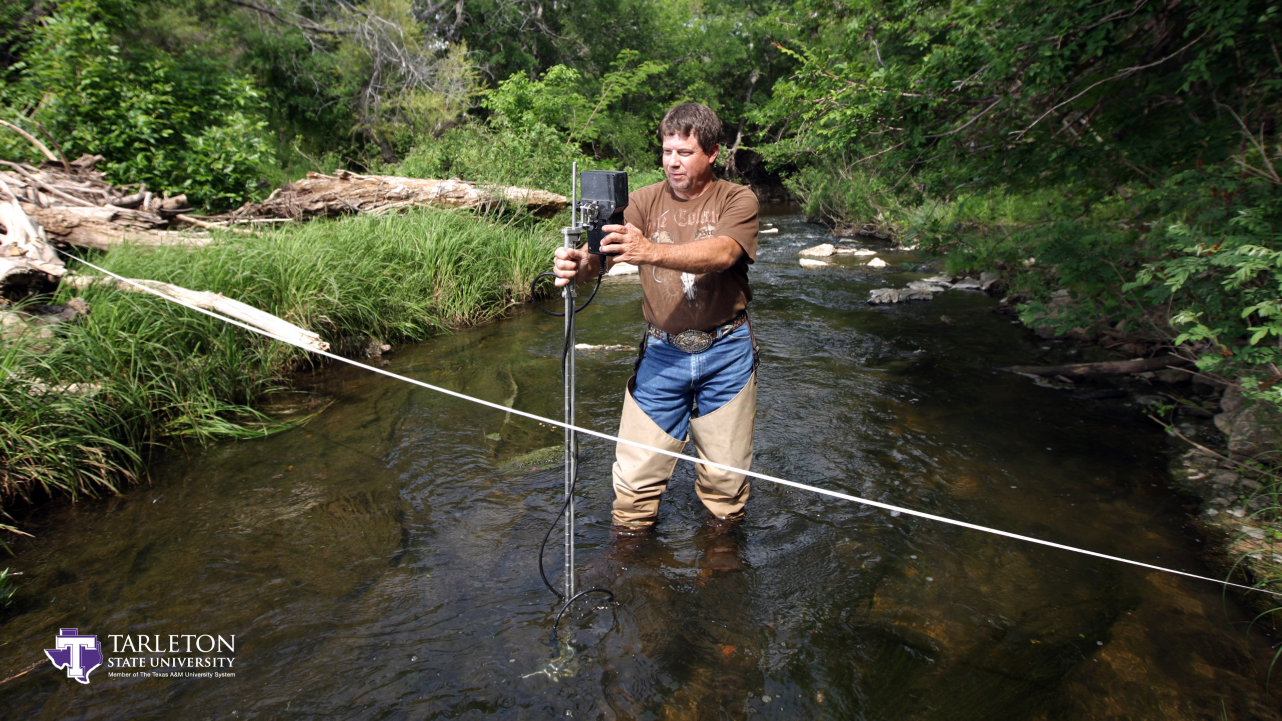
- Evaluation of nutrient sources, in-stream nutrient transport dynamics, and in-stream sediment properties.
- Evaluation of water quality trends including seasonal and flow corrections.
- Evaluation of land management practice performance at field plot and watershed scales.
- Evaluation of algal growth potential under nutrient limitation.
- Development of trophic status relationships for periphyton and macrophyte distribution and abundance.
- Watershed delineation and spatial data analysis.